
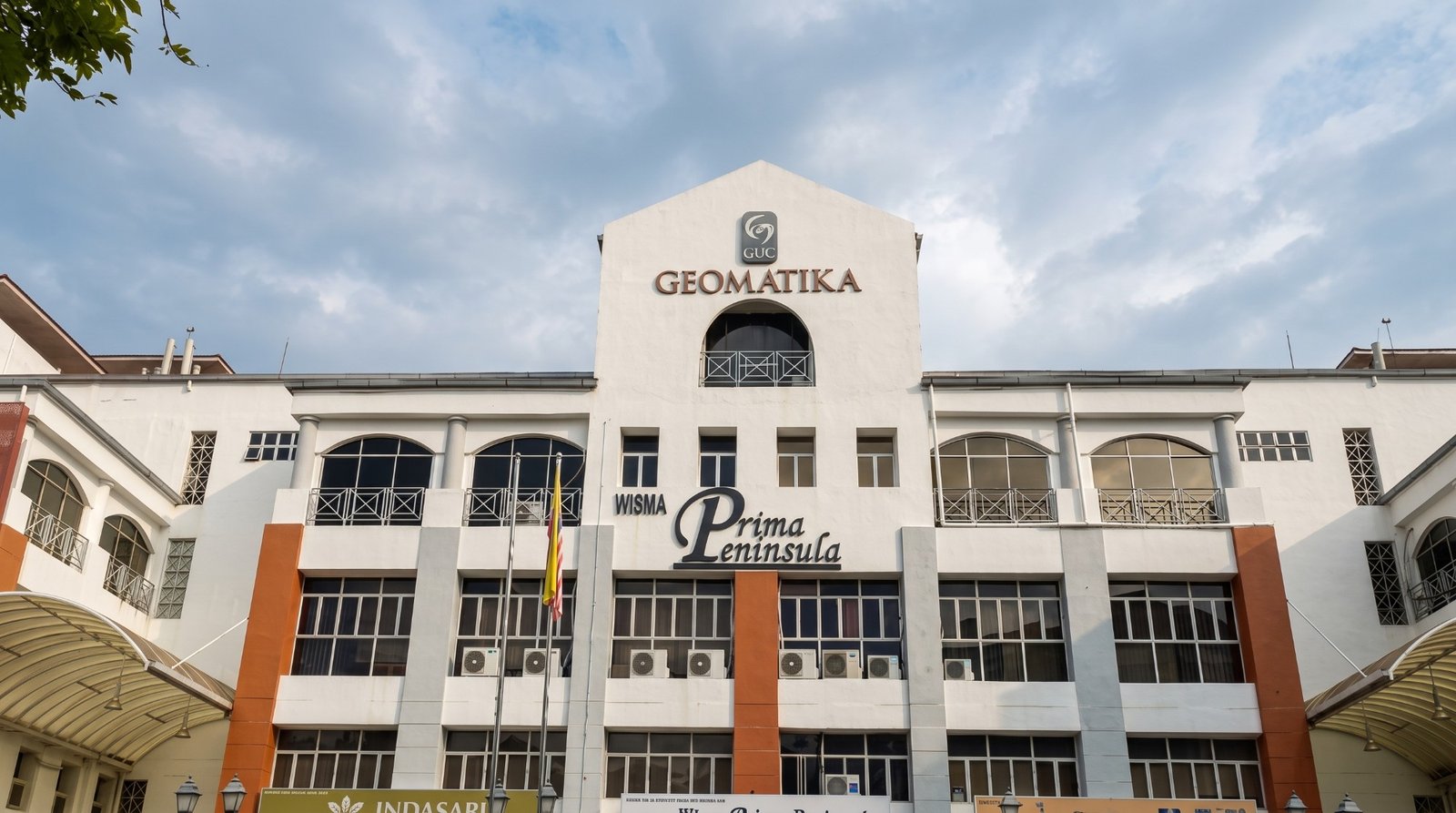
Bachelor of Science in GIS and Application Development
This programme develops knowledge in Geographic Information Systems and application development. Students learn to acquire, analyse and display geographic data using maps, data layers and location-based analytics, while building practical capability with GIS software and tools such as ArcGIS, QGIS and Python for geospatial problem solving.
Tuition Fees
Quick Facts
Fees by Study Year
Tuition for each year of the programme
- Year 1RM 13,500
- Year 2RM 13,500
- Year 3RM 13,500
- Year 4RM 13,500
Other fees
- Visa feeone-timeRM 3,252
Indicative fees in Malaysian ringgit. The final amount is confirmed in your offer letter. Fees exclude 6% SST where it applies.
This programme develops knowledge in Geographic Information Systems and application development. Students learn to acquire, analyse and display geographic data using maps, data layers and location-based analytics, while building practical capability with GIS software and tools such as ArcGIS, QGIS and Python for geospatial problem solving.
- Pass STPM with at least Grade C / NMGP 2.00 in two subjects and credits in Mathematics at SPM level.
- Other qualifications such as UEC, Foundation, STAM or equivalent qualifications may be assessed during admission.
IELTS 5.5
Bachelor of Science in GIS and Application Development is a Bachelor programme at Geomatika University College, lasting 4 years. It is offered by the Faculty of Architecture and Built Environment. Classes are taught in English.
Subjects you will study
- Introduction to Geographic Information System
- Mathematics for Geoinformatics
- Survey and Mapping I
- Introduction to Database
- Introduction to Spatial Statistics
- Cartography
- Programming I
- Geographic Study
- Survey and Mapping II
- Cadastral Studies
- Spatial Analysis
- Programming II
- Principles of Photogrammetry
- Programming in C++
- Remote Sensing & Digital Image Processing
- System Analysis and Design
- Spatial Data Infrastructure
- Open Source Technology
- GIS & RS Application
- GIS Software System
- Geospatial Infrastructure
- Cartographic Design
- Undergraduate Project I
- Satellite Positioning
- Project Management
- Mobile GIS Application
- Advanced Database
- Web-based GIS
- Geospatial Survey Camp
- Industrial Training
- Undergraduate Project II
- Faculty
- Faculty of Architecture and Built Environment
- Language of instruction
- English