
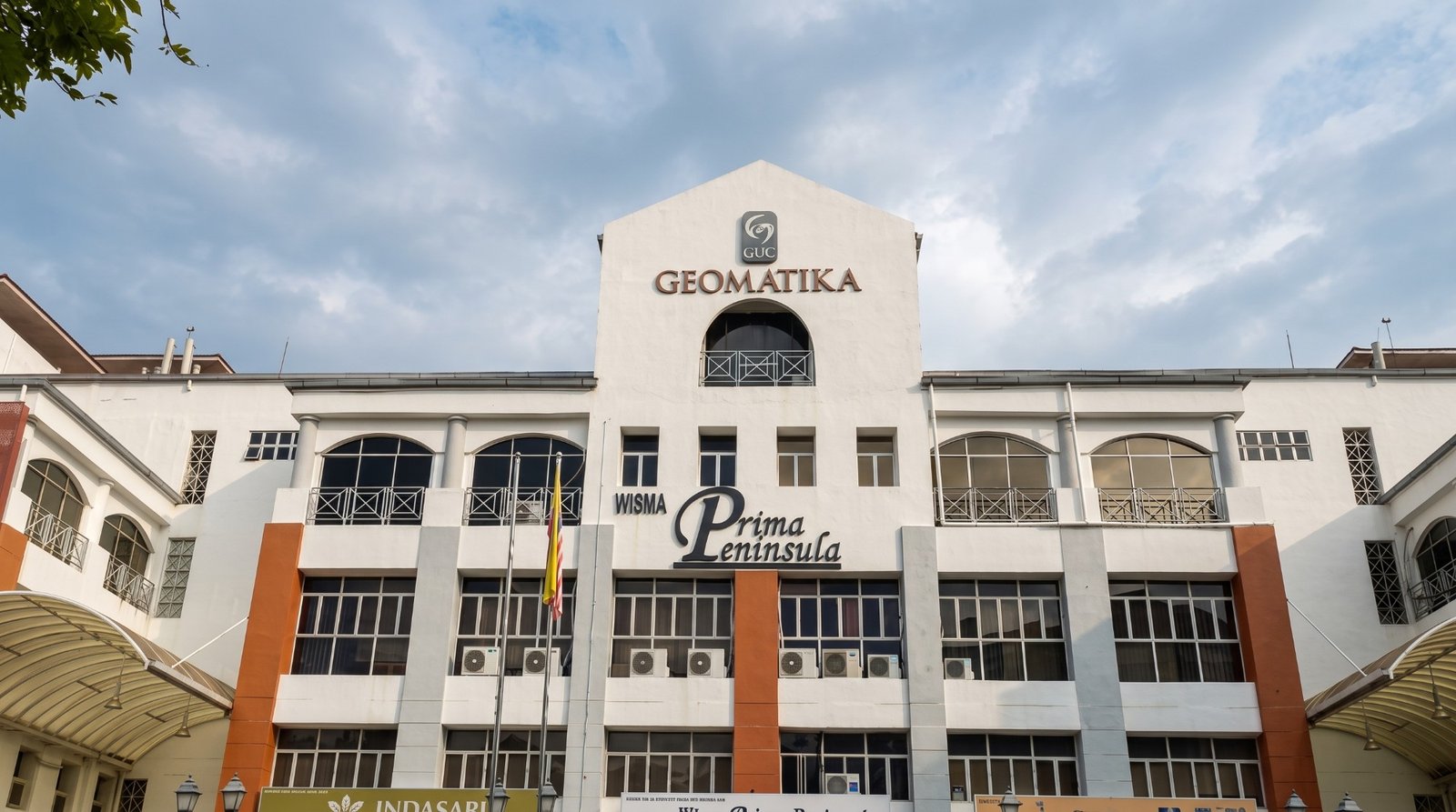
Bachelor of Science (Hons) in Geomatic and Land Surveying
This honours Bachelor of Science programme in Geomatic and Land Surveying is designed around industry needs and developments in surveying and geospatial technology. The curriculum covers surveying computation, cartography, geodesy, photogrammetry, hydrographic and engineering surveying, geographic information systems, land administration, cadastral surveying, satellite positioning, spatial data adjustment and professional practice. It also provides a pathway for diploma holders who wish to continue into land surveying careers.
Tuition Fees
Quick Facts
Fees by Study Year
Tuition for each year of the programme
- Year 1RM 13,500
- Year 2RM 13,500
- Year 3RM 13,500
- Year 4RM 13,500
Other fees
- Visa feeone-timeRM 3,252
Indicative fees in Malaysian ringgit. The final amount is confirmed in your offer letter. Fees exclude 6% SST where it applies.
This honours Bachelor of Science programme in Geomatic and Land Surveying is designed around industry needs and developments in surveying and geospatial technology. The curriculum covers surveying computation, cartography, geodesy, photogrammetry, hydrographic and engineering surveying, geographic information systems, land administration, cadastral surveying, satellite positioning, spatial data adjustment and professional practice. It also provides a pathway for diploma holders who wish to continue into land surveying careers.
- Pass STPM with at least NGMP 2.00 (Grade C) in two subjects, and pass SPM with credits in at least three subjects including Mathematics and one Science/Technical/Vocational subject, and pass English.
- Other qualifications such as UEC, Foundation, STAM or equivalent qualifications may be assessed during admission.
IELTS 5.5
Bachelor of Science (Hons) in Geomatic and Land Surveying is a Bachelor programme at Geomatika University College, lasting 4 years. It is offered by the Faculty of Architecture and Built Environment. Classes are taught in English.
Subjects you will study
- Computer Programming
- Introduction to Geomatics
- Mathematics for Surveyors
- Fundamental of Survey and Computation
- Statistics for Surveyors
- Computer-Aided Design for Surveyors
- Photogrammetry I
- Cartography
- Geodesy I
- Introduction to Adjustment Computation
- Engineering Survey Measurement System
- Hydrographic Surveying
- Field Astronomy
- Professional Ethics
- Hydrographic Surveying
- Introduction to Land Administration
- Introduction to Geographic Information System
- Engineering Survey
- Survey Camp
- Geodesy II
- Cadastral Survey (E)
- Spatial Data Adjustment & Analysis
- Satellite Positioning
- Photogrammetry II
- Elective I & II
- Industrial Training - Field
- Industrial Training - Seminar
- Land Laws and Survey Regulations
- Undergraduate Project I
- Utility Mapping (E)
- Undergraduate Project ll
- Professional Practice
- Project Management for Surveyors
- Elective 3, 4, 5, 6 & 7
- Faculty
- Faculty of Architecture and Built Environment
- Language of instruction
- English